Kahurangi Lighthouse Trip
January 20-24, 2011
A Bush & Beyond guided walk
Move
 |
-
Whanganui Inlet (Westhaven) from Knuckle Hill.
 Anatori: Setting out on the 18 km tramp down the beach to Kahurangi Point.
 Scambling over rock fallen from the cliffs in recent heavy rain.
 Dodging the tidal surf.
 More water and sand in the shoes.
 Sculptures along the beach.
 The former lighthouse keeper's house, now a public DOC hut.
 The beach at sunset; Conical Hill.
 White-fronted terns, and a couple of red-billed gulls.
 Kahurangi Lighthouse (1903).
 The motley crew.
 Lush West Coast bush at Kahurangi Point.
 Descending steeply from the ridge above the lighthouse.
 The Tasman Sea.
 Kahurangi River mouth, beginning of the true "wilderness coast" leading to the Heaphy River 25 km south.
 A secluded waterfall up a creek near the Kahurangi mouth.
 Lagoon Creek along the beach between the hut and Conical Hill.
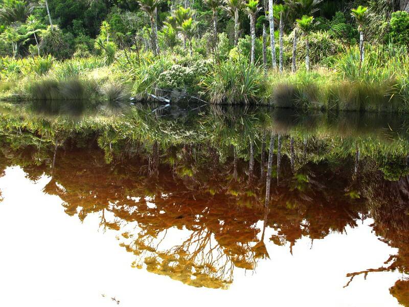
 More reflections.

 White flowering Rata.
 A rata flower.
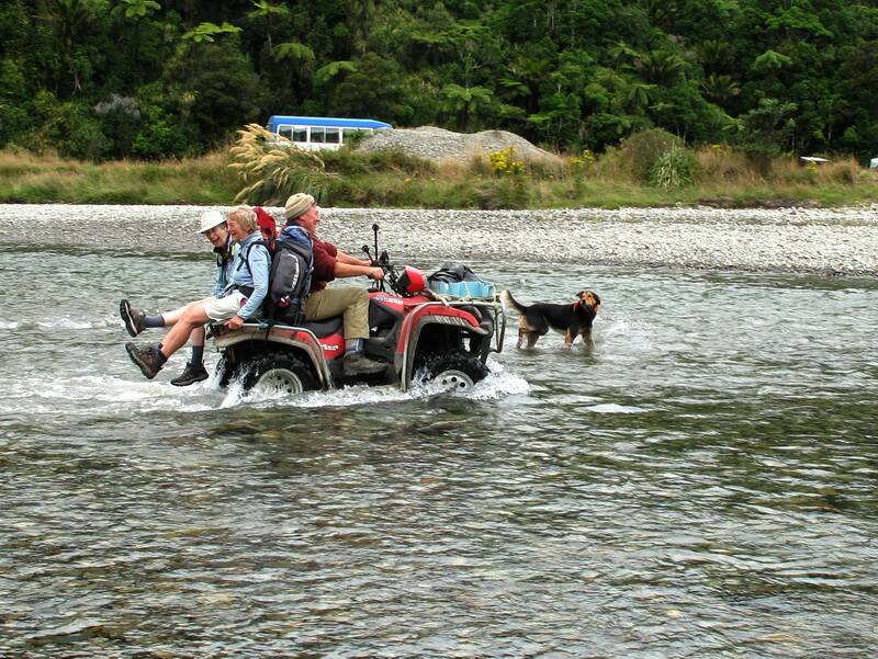
 Alice and Katie "cheating" their way across the Anatori on the way out.
 Our final stop, the commodious field centre operated by Friends of Mangarakau Swamp.
 Rainbow over Mangarakau Swamp and Knuckle Hill.
 End of the rainbow, limestone cliffs between the swamp and the coast.
 Swamp house festivities.
 Lights out.


 |